The FireSense project leverages NASA’s unique Earth science and technological capabilities to support operational agencies in meeting the challenges of wildland fire management across the United States.
We focus on four use-cases. These use-cases are co-developed with wildland fire management agency stakeholders to support decision-making before, during, and after wildland fires.
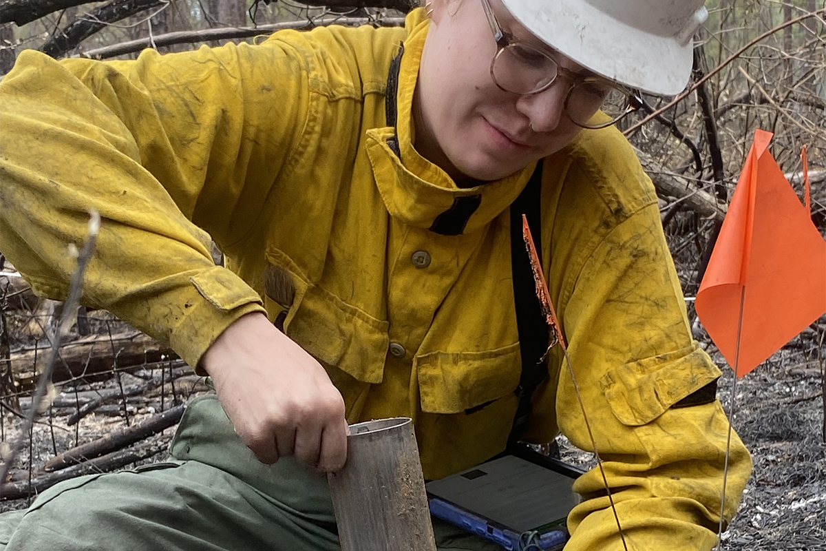
THE MEASUREMENT OF PRE-FIRE FUELS CONDITIONS
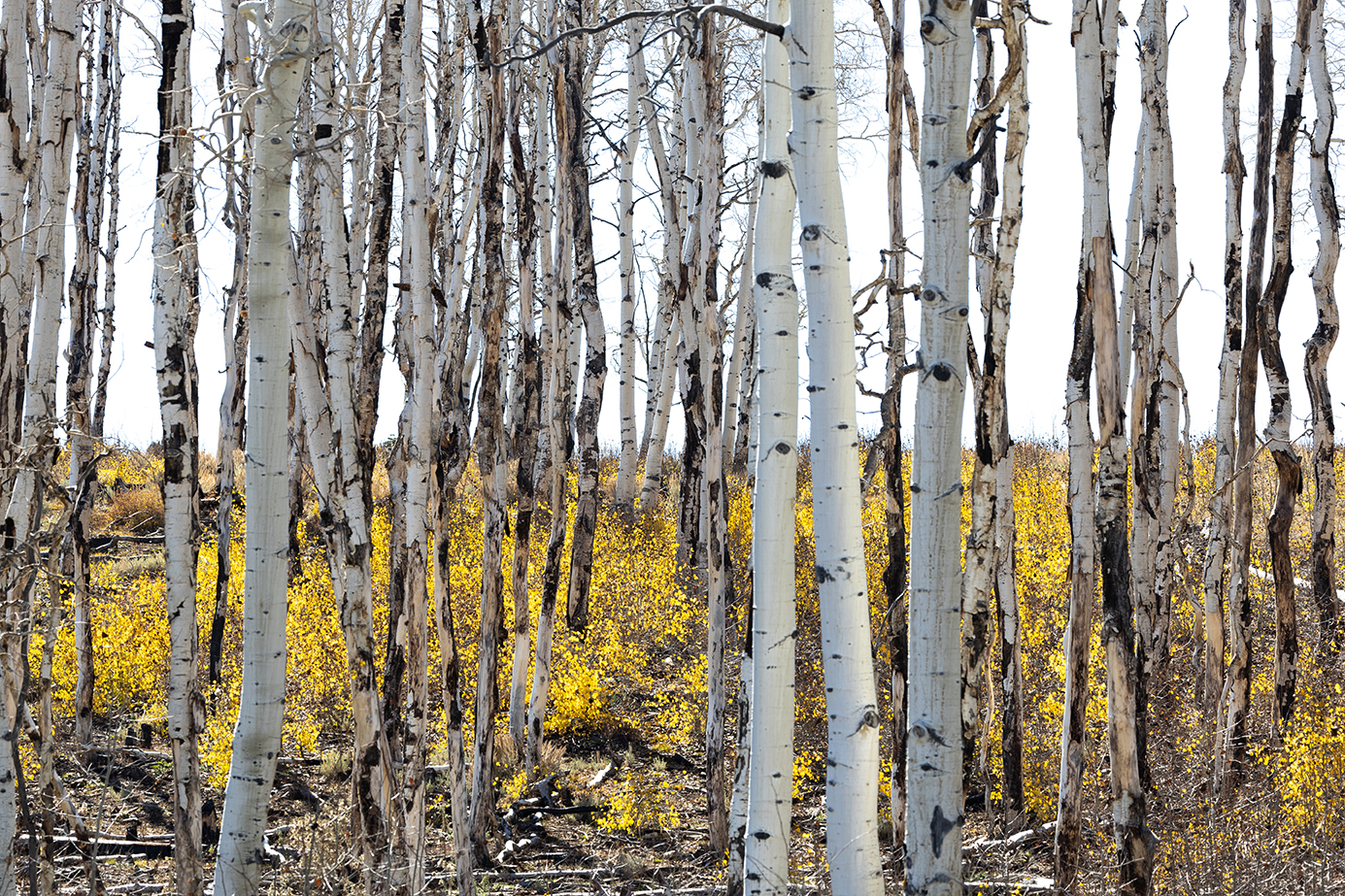
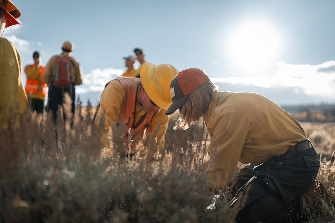
Pre-fire fuels conditions are addressed through improved fire prevention strategies, by providing detailed fire fuel maps with higher spatial and temporal accuracy and resolution. Near real-time fire risk assessments are enabled by models that incorporate factors such as fuel conditions, soil moisture, surface temperature, lightning potential, and social science data. These advancements support the identification of proactive management and mitigation actions to influence fire behavior and strengthen local resilience and resistance to disturbance.
ACTIVE FIRE DYNAMICS
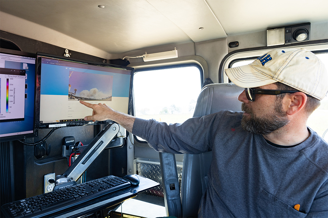
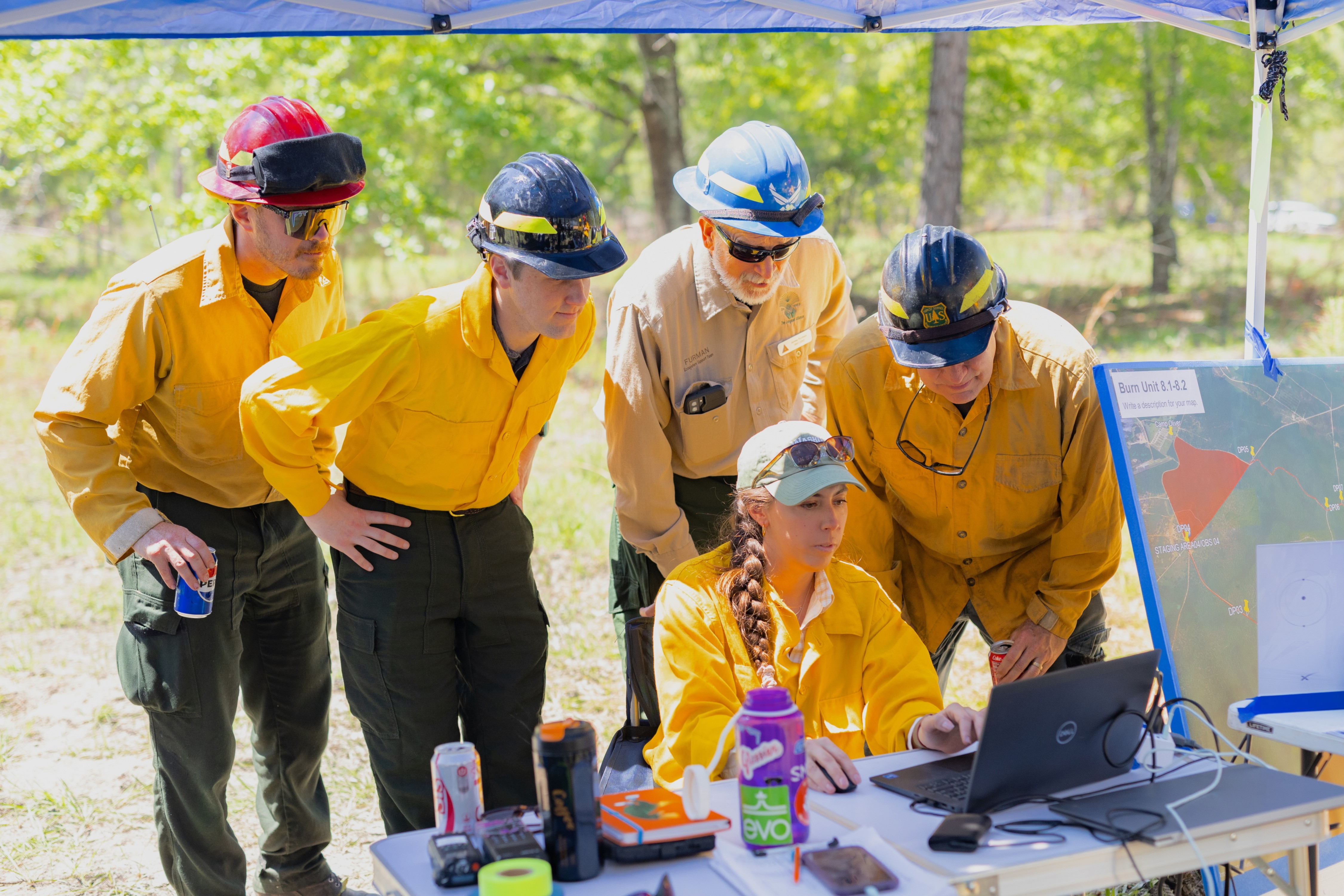
Active fire dynamics are enhanced through better detection and tracking of fires using satellite, airborne, and ground-based imagery with higher spatial resolution and more frequent updates. The development of innovative sensors enables precise tracking and location of fires, fuel conditions, and smoke plumes. Additionally, improved models of fire spread support more effective management of both prescribed fires and wildfires.
POST FIRE AND THREATS
Post-fire impacts and threats are addressed through improved maps of burn extent and severity, which support ecosystem rehabilitation efforts after a fire. Additionally, predictions of post-fire hazards and impacts, such as debris flows, landslide risks, and watershed contamination, help guide effective recovery and management strategies.
AIR QUALITY FORECASTING
Air quality forecasting is strengthened through enhanced tracking and characterization of smoke plumes and their transport. The development of monitoring systems for long-lived trace gases and aerosols further improves air quality assessments. These advancements enable more accurate forecasts of air quality impacts on human health and safety.